
We were hiking in the Wonderopolis woods the other day when we overheard an interesting conversation between a kangaroo and a pig:
Pig: Oink! Look at the size of this hill in front of us. Are you sure this is the way to Badger's house?
Kangaroo: Yikes! That's some hill. I'm not sure. Hand me the map and I'll check our route.
Pig: The map? I don't have the map. I don't even have clothes! Where would I carry a map, mate?
Kangaroo: Oops! Silly me. It's right here in my pocket. OK, we're following this trail right here and there's the right turn we just took, so we're right here. Badger's house is over here and in between are a bunch of these squiggly lines really close together.
Pig: Squiggly lines? What do those mean?
Kangaroo: I'm not sure, but I think they mean we have to climb this hill. We'd better hurry. Badger is expecting us soon.
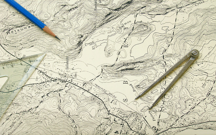
We have no idea why Pig and Kangaroo were meeting up with Badger, but we do think we know a bit about the squiggly lines on their map. It sounds to us like Pig and Kangaroo were using a topographic map, which was a smart decision since they were hiking.
You've probably seen many types of maps, from spherical globes to street maps displayed on smartphone screens. Topographic maps are different from other types of maps in that they are able to represent three-dimensional space on a flat, two-dimensional map.
Topographic maps use contour lines to show topography, which is how Earth's surface is shaped. If you've never seen a topographic map before, these "squiggly" contour lines are one of the first things you'll notice, since they give topographic maps a unique look.
Contour lines are lines of constant elevation, so they never cross on a map. They connect points of equal elevation on Earth's surface above or below a reference point, such as sea level. If you follow a particular contour line, you will find a number that indicates what elevation that line represents.
Contour lines make it possible to show the height and shape of mountains, the steepness of hills, and even the depth of the ocean floor. To visualize the shape of the terrain shown on a topographic map, you need to look at the spacing of the contour lines.
Contour lines that are really close together show steep slopes, such as hills, cliffs, and mountains. Gentle slopes and flat areas are represented by widely-spaced contour lines.
Topographic maps are a great tool for hikers and other people who want or need to be able to see how Earth's surface is shaped. For example, a regular map might show you that a hike from Point A to Point B is only one mile. A topographic map will show you if there happens to be a steep cliff, hill, or mountain between those points!
In addition to elevation, topographic maps show a wide variety of other geographic features, such as roads, rivers, lakes, forests, towns, buildings, railroads, political boundaries, mines, caves, and other minor and major geographic landforms. Topographic maps are used by many professionals, including construction and mining companies.
Topographic maps have been around a long time. The first topographic map series of an entire country dates back to 1789, when the Carte géométrique de la France was completed.